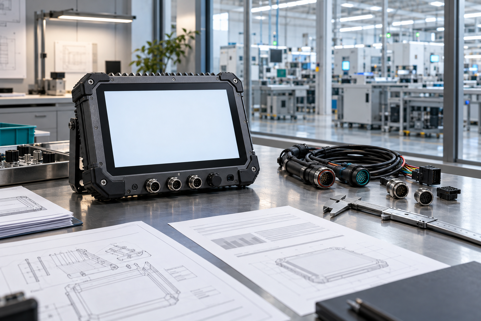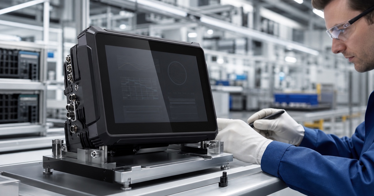

For a commercial fleet, a GPS vehicle tracking terminal must provide useful data even when coverage and working conditions change.
A GPS vehicle tracking terminal is only useful when the location record can be trusted. Fleet operators need more than just a point on a map. They need to know how the position was obtained, whether the vehicle had a clear signal, when the record was created, what happened during a network outage, and how the terminal behaves when the vehicle is powered off.
Therefore, the hardware decision includes the GNSS receiver, antenna, cellular modem, storage, power cabling, enclosure, mounting hardware, software tail, and fleet platform. A rugged, compact computer can provide better operational logging than a hidden tracker when the project also requires driver workflow, camera input, CAN data, or visible service status.
1. Decide what the “follow-up” should demonstrate.
Let's start with the operational question. Is the fleet looking to confirm route progress, enforce geofences, investigate wait times, provide dispatch support, protect high-value cargo, or provide a driver display? Each objective modifies the required update frequency, accuracy, storage, event rules, and review process.
List the events that should be auditable: power on, departure, arrival, stop, geofence entry, route deviation, road hazard alert, camera activation, loss of coverage, and power off. Define the timestamp source and the minimum information to be stored locally. This helps maintain project focus when vendors present a long list of optional features.
2. Position quality starts at the antenna.
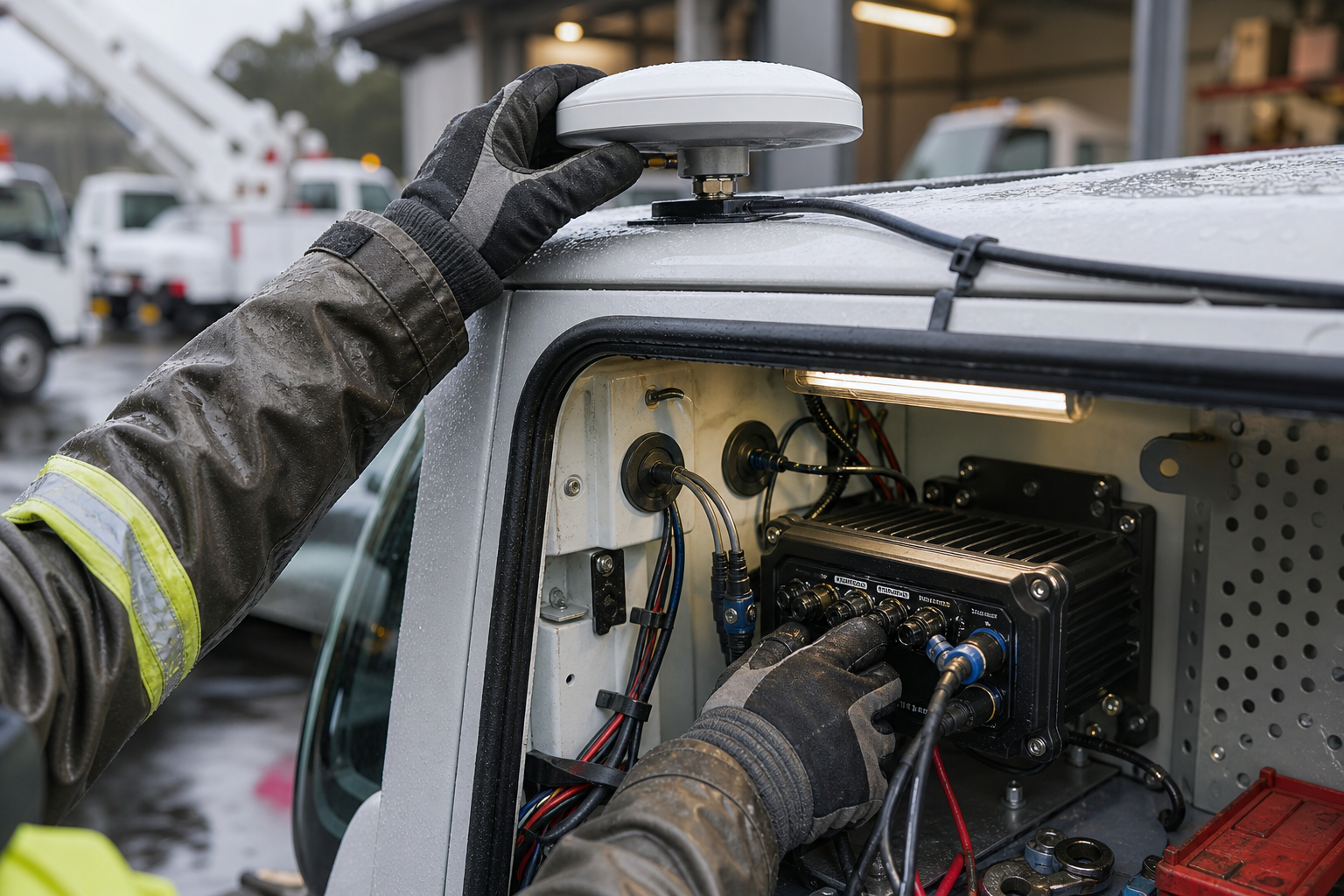
A receiver cannot retrieve information that the antenna installation has already blocked. Check the visibility of the sky, the antenna's position on the roof or dashboard, metal structures, cable length, connector seal, and nearby radios. Keep the antenna away from potential sources of interference and determine how the cable will be secured against vibrations and during maintenance.
Conduct tests in locations where the fleet typically operates: city streets, covered loading areas, tree-lined avenues, steep terrain, parking lots, and highways. Record position fix time, position jumps, signal loss and recovery, and geofence rule behavior. If a project requires higher-precision GNSS or RTK, confirm the correction service, antenna specifications, coordinate system, and backup mode.
3. Cellular coverage changes the data narrative.
GPS and mobile telephony are different services. The vehicle can know its location, but the platform cannot receive the data. A GPS tracking device for vehicles must locally store essential events, record their original timestamps, and upload them after reconnection without creating duplicates.
Verify the modem bands for each operating region, SIM or eSIM handling, roaming, reconnection intervals, data budgets, and platform confirmation response. Use a route test instead of a depot test. Include tunnels, rural areas without coverage, border areas, and congested cells. The driver or technician should be able to see if data is available, queued, or unavailable.
4. Power behavior protects the schedule
Trace logs often fail at the end of a trip. A sudden power outage, a low battery, a loose ground connection, or long wiring can interrupt power before the last event is recorded. Define B+, ACC, fuse protection, grounding, standby current, shutdown delay, and recovery behavior following a low-voltage event.
PDS rugged vehicle computers are typically evaluated based on their wide voltage input options and robust housing. The project still requires vehicle-level testing. Cold start, hot start, repeated ignition cycle, battery isolation, and power disconnection tests while processing an event must be performed. It is important to confirm which records are retained and how the status is reported on the next start.
5. Deliberately choose visible or hidden hardware.
A small, hidden tracker may be suitable for simple location requirements. A robust, visible on-board computer is more useful when the driver needs route instructions, work orders, service receipts, camera images, or clear local status information. The PDS T7, T8Pro, T10Pro, and T12 models offer different display and integration options for these combined workflows.
The screen size should be appropriate for the task. The T7 is ideal for compact cabs and demanding work environments. The T8Pro offers a balance between space and reach. The T10Pro provides more room for maps, cameras, and event panels. The T12 supports a large, custom control panel when the cab and application warrant it. Verify the model dimensions, screen behavior, connectors, and mounting options for the vehicle family in which it will be used.
6. Integrate events without exaggerating precision.
CAN, RS232, RS485, GPIO, camera input, and GNSS can add context to a position record. Confirm the electrical interface, connector pin assignment, baud rate (bits/or baud), message ownership, update frequency, timeout, scaling, and diagnostic behavior. A location point linked to an invalid baud rate or an obsolete power-on value should be flagged as such.
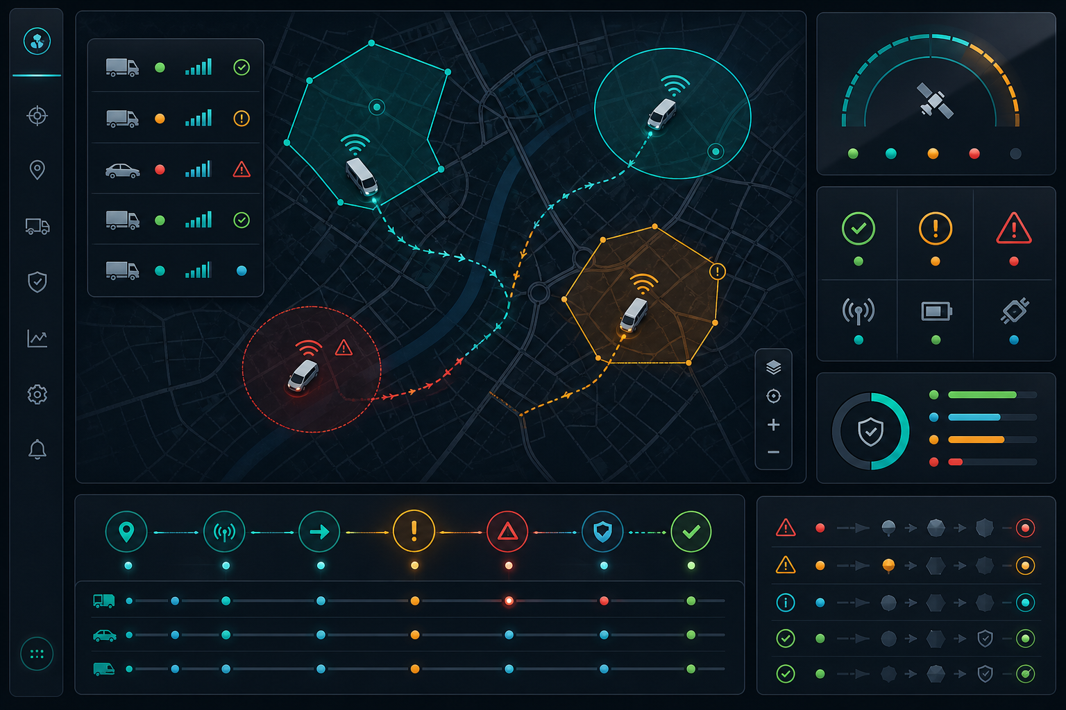
Alerts require the same discipline. Define geofence tolerance, dwell threshold, route deviation rule, weak signal handling, and who receives each alert. Avoid presenting every fluctuation as a real event. Operators lose trust in dashboards when normal urban multipath propagation or a brief network outage generates a page full of false alarms.
7. Review the data path and control panel.
The fleet management platform should display more than just a colored vehicle icon. It should separate current, queued, overdue, and invalid records. It should maintain a chronological record of the last accepted position, the last cell phone contact, the ignition status, and other relevant events. A technician should be able to export sufficient evidence to reproduce a dispute without needing to open the device on the road.
The operator of a vehicle's GPS terminal must compare the terminal's local log with the logs received by the platform. They must verify the time deviation, the order after reconnection, duplicate removal, missing intervals, and data retention after an application update. These checks are often more valuable than a brief static demonstration of accuracy.
8. Application example: a breach in the route with a secure recovery
A service truck leaves a connected depot and enters a rural valley. The terminal continues to record GNSS positions and a geofence exit event as the cellular signal weakens. The driver still sees the next job and a clear connection indicator. The local queue grows, but no event is silently dismissed.
When the truck regains coverage, the records are uploaded in chronological order. The platform marks the interval as recovered instead of drawing a false straight line. When the system is shut down, the terminal confirms the final stop and powers off after the configured delay. The fleet manager can explain the route without claiming the network was perfect.
9. Pilot checklist for fleet operators
| Test area | Evidence to record |
|---|---|
| GNSS and antenna | Repair time, sky view, multipath locations, loss/recovery, antenna and cable installation |
| Cell phone and tail | Coverage gaps, queued events, reconnection time, sorting, duplicate handling |
| Energy and storage | Key cycles, low voltage, power-off delay, boot recovery, retained registers |
| Operator and service | Readability, alerts, glove use, connector access, replacement and upgrade steps |
Frequently Asked Questions
Is GPS accuracy the same as tracking quality?
No. Tracking quality also includes antenna location, timestamp integrity, cellular delivery, local buffering, event rules, and how the platform explains gaps or invalid data.
Is a screen necessary for a vehicle's GPS tracking terminal?
It's not suitable for all fleets. A concealed unit may be sufficient for simple placement requirements. A visible, robust terminal is preferable when drivers need to manage routes, tasks, cameras, or exceptions from the cab.
When should a project consider RTK technology?
Consider RTK when your workflow requires higher positioning accuracy and supports corrections, antenna placement, coordinate management, and field validation. Standard GNSS may be sufficient for wide-range routes and geofence work.
Make location data useful and explainable.
The right GPS terminal for vehicles generates a log that allows operators to take action and managers to interpret the data. PDS Technology can review the vehicle type, coverage area, antenna position, feed design, display workflow, GNSS accuracy, interfaces, storage, and fleet platform before approving the production configuration.
Explore PDS' fleet management solution , review the range of rugged vehicle computers , or contact PDS Technology to communicate your route, event, and installation requirements.
Contact us
📧Email: [email protected]
📞Tel:+86 13421822024
🌐Website: www.szpds.com
Disclaimer
The information in this article is for reference only. PDS Technology Co., Ltd. is not responsible for errors, omissions, or the suitability of the content for specific applications. Product specifications are subject to change without notice. Buyers should verify all technical details with our team before using the product.
About PDS Technology
PDS Technology is a leading original equipment manufacturer (OEM) and original equipment designer and manufacturer (ODM) of high-precision RTK GNSS terminals and vehicle computers, serving the agricultural, construction, mining, taxi, and logistics sectors since 2011.
With over 15 years of R&D experience in the automotive sector, we offer robust, multi-OS (Android/Linux/OpenHarmony) devices with centimeter-level RTK positioning accuracy, IP66 protection, and AI compatibility. Our IATF16949-certified factories have produced over 100,000 units distributed globally, representing more than 30% of the Chinese market for automatic steering terminals for agricultural machinery. We export to Japan, the United States, the United Kingdom, Turkey, Russia, and other countries.